Field Studies Maps

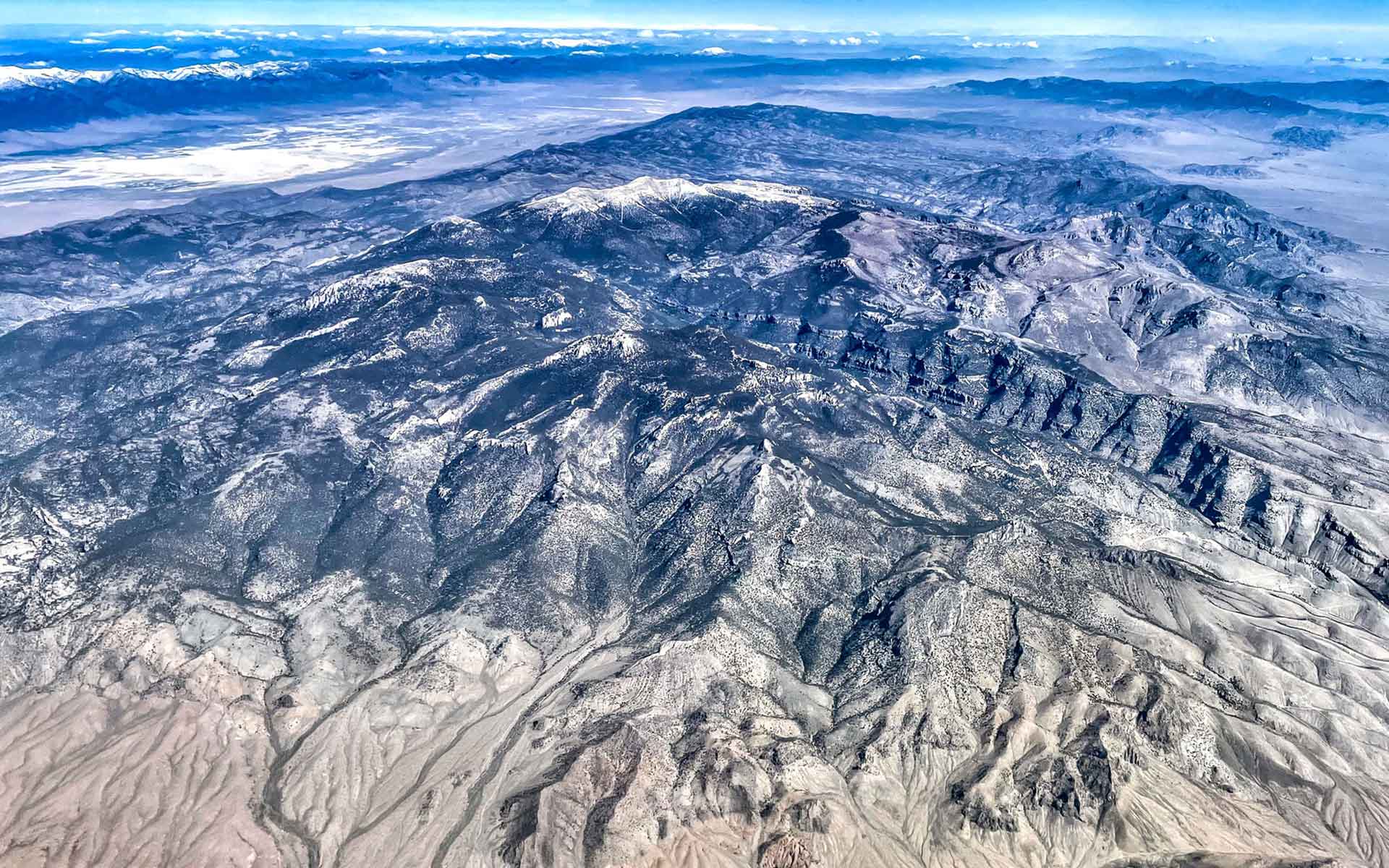
"View north of the Northern Snake Range. Stretched lower plate quartzite and schist units (subhorizontal) visible in
Hendry’s Creek, SE flank of the Range. High peak is Mt. Moriah."
From IUGS Geoheritage Commission Website, photo credit: Michael McWilliams.
Snake Range
About a third of the Field Studies Maps are located in the Snake Range in White Pine County. Geologists from Stanford University authored the original seven quadrangle maps covering parts of the Snake Range: Little Horse Canyon, Mormon Jack Pass, Mount Moriah, Old Mans Canyon, Spring Mountain, The Cove, and Third Butte East.
The Snake Range “has been named to the First 100 International Union of Geological Sciences Geological Heritage Sites.” Only eight sites out of a hundred worldwide were from the United States, and the Snake Range made that list!
Related links:
To access free downloads, go to the publication landing page by clicking on blue title in the list below and go to the "Free Downloads" tab.
|